Drone services.
A new perspective.
Real footage. Defined coordinates. 3D projects in context.
A real location.
A future in view.
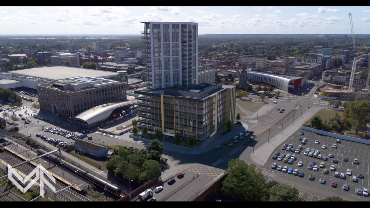
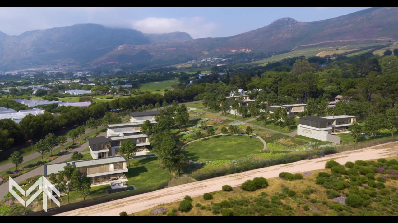
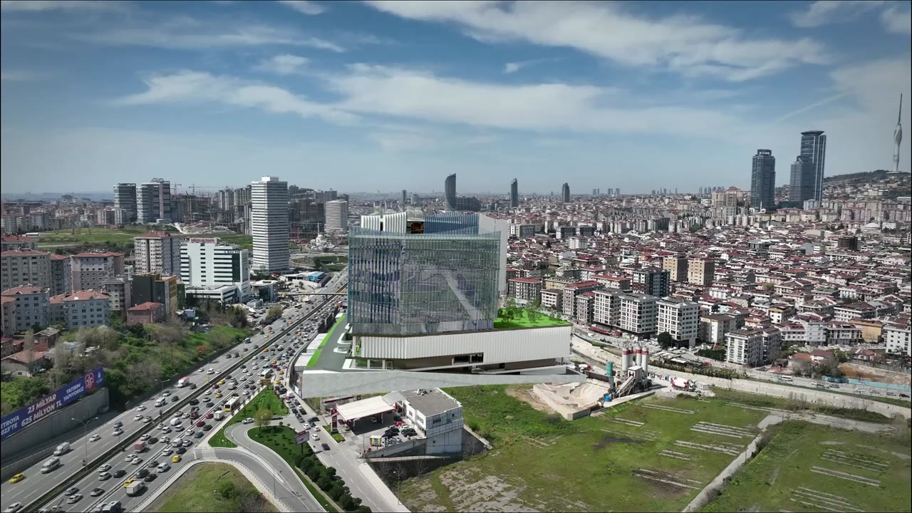
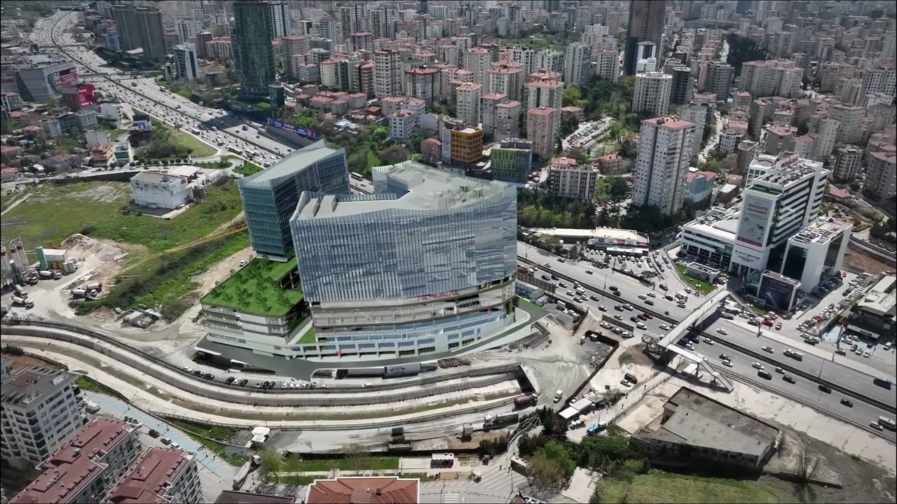
We integrate architectural CGI into aerial photographs and film. Perspective, scale and light bring unbuilt projects into view.


Every frame.
In its place.
Photography from specified coordinates, heights and camera angles. Programmed capture for CGI studios and property marketing.
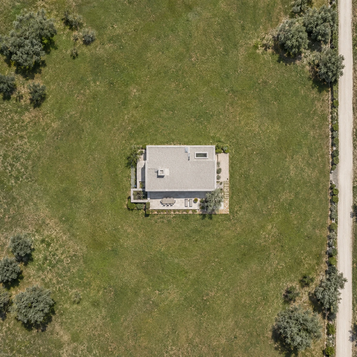
Turntables & programmed flights
Orbits with equally spaced positions, a constant radius and height, and a defined camera pitch towards a POI. Shot count and positioning tolerance are agreed for each brief.
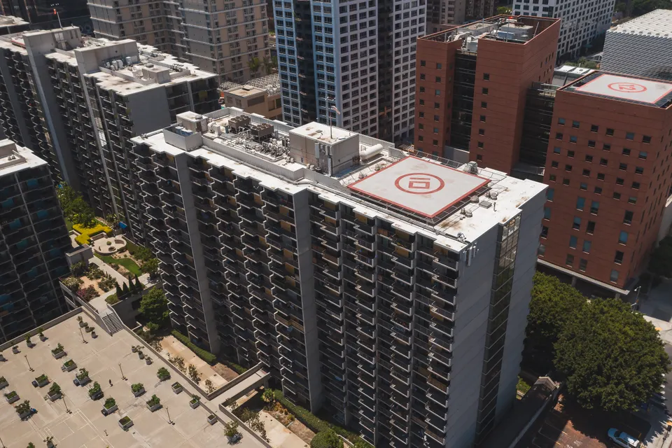
View backplates from each floor
Render backgrounds captured from the coordinates and elevations of future homes, terraces or windows. Camera position, height reference and lighting windows are agreed before capture.
RAW, bracketing & delivery
RAW capture, three exposures per viewpoint and stitched panoramas targeting 16K or above, subject to scope and technical feasibility. Files organised by position and height. Permissions, timing and conditions are assessed for each location.
Before it is built.
Already in view.
A proposal within its city. Scale you can understand. A presentation that connects.
The whole setting.
From one viewpoint.
360° aerial panoramas and views at project height. Capture the landscape, explain a location and show the outlook from each space.

Movement.
With purpose.
Aerial film for brands, destinations, architecture and facilities. From the flight plan to the final edit.
Based in Palencia.
Built around your project.
Palencia & Castilla y León
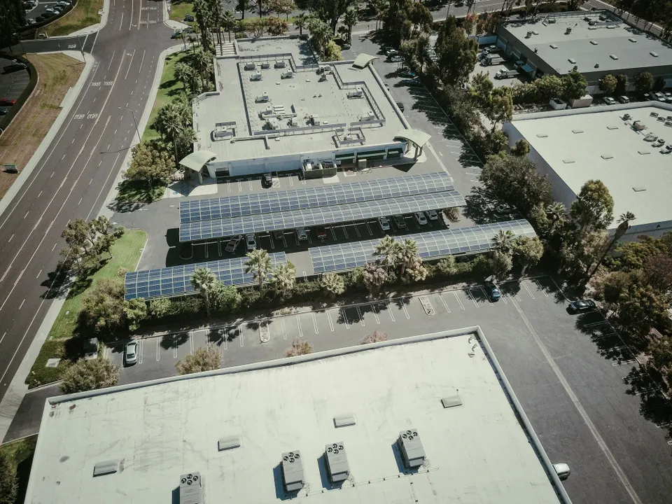
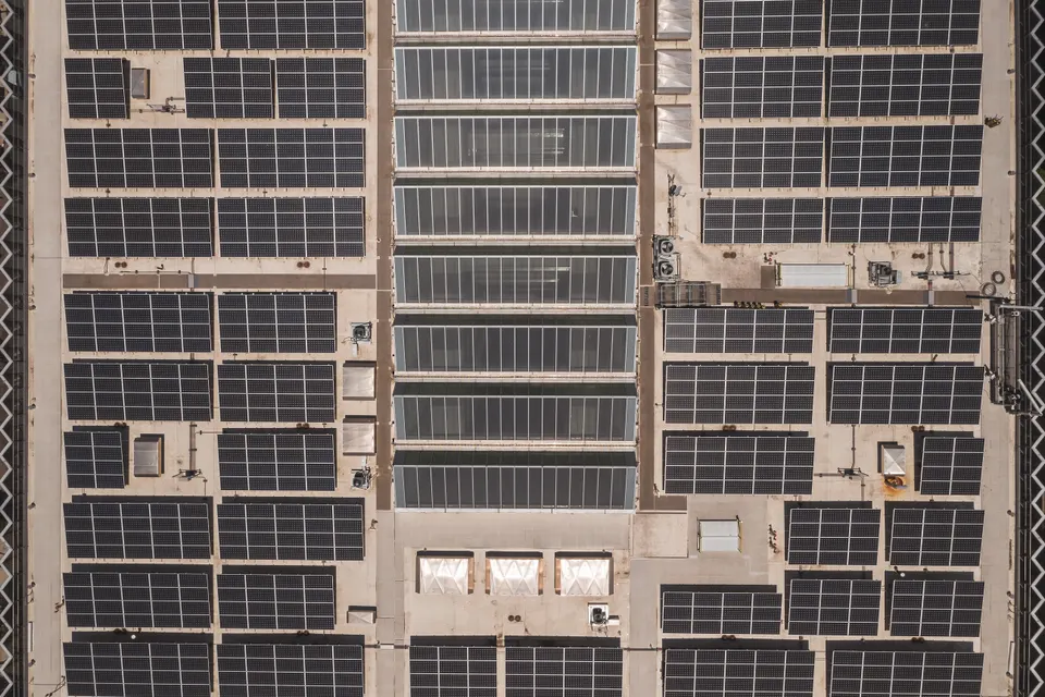
Aerial photography and drone filming for brands, architecture, real estate and tourism. Capture planned from our studio in Palencia, Spain.
Drone services in Spain
Coordinate-based photography, CGI backplates, programmed turntable flights and 360° aerial panoramas. Camera position, elevation and deliverables defined by your brief.
European & global clients
Capture in Spain for CGI studios, property developers and agencies across Europe and other markets. English and Spanish coordination, with 3D integration into photographs and aerial footage.
Our team includes certified drone pilots. Flight feasibility, permissions and scheduling are assessed for each location and project scope.
Your brief.
Our starting point.
Send us the location, coordinates and deliverables. We will define the capture, integration and schedule with you.